


Districts of Odisha
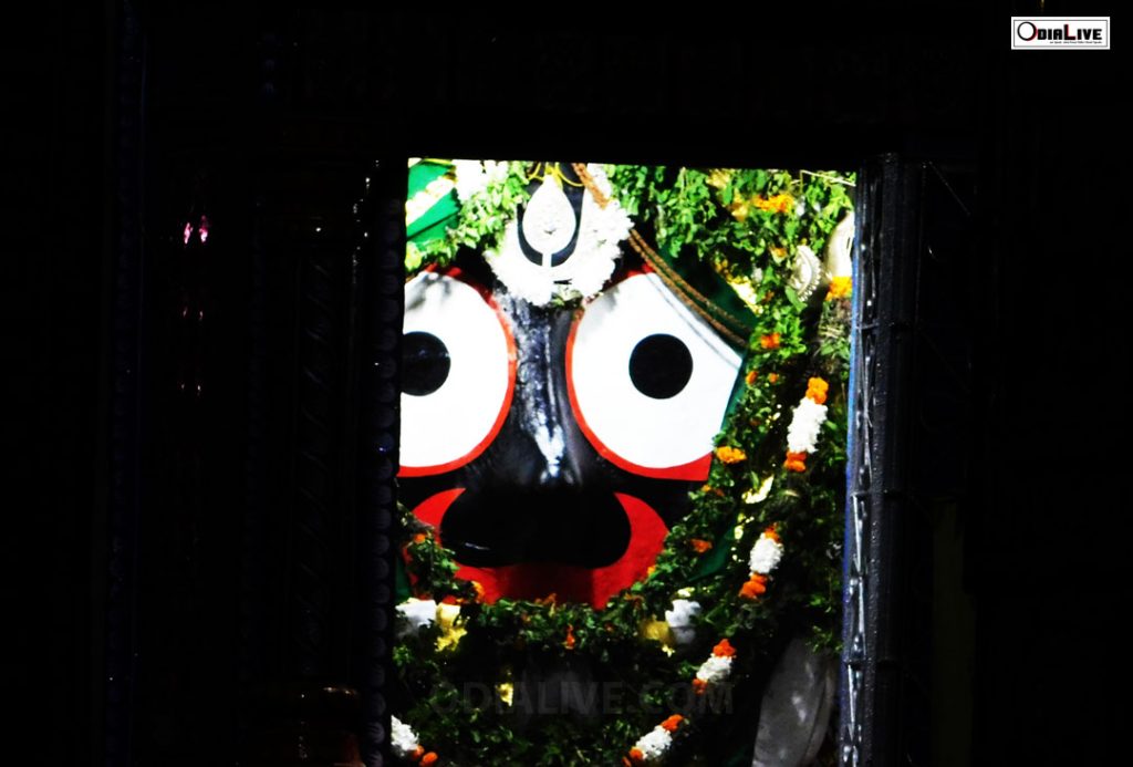
About Odisha: Odisha (Odia: ଓଡ଼ିଶା), also known as Orissa, is a state of India, located on the east coast of India, by the Bay of Bengal. It is the modern name of the ancient nation of Kalinga, which was invaded by the Maurya Emperor Ashoka in 261 BC. The modern state of Odisha was established on 1 April 1936 at Kanika Palace, Cuttack, as a province in India, and consists predominantly of Odia speakers.
1st April is therefore celebrated as Utkal Divas (Odisha Day). Odisha is the ninth largest state by area in India and the eleventh largest by population. Odia is the official and most widely spoken language with 93.33% Odia speakers according to the linguistic survey. Odisha has a relatively unindented coastline (about 480 km long) and lacks good ports, except for the deepwater facility at Paradip.
Districts of Odisha
Anugul
Bargarh Bhadrak Balasore Balangir Boudh
Cuttack
Deogarh Dhenkanal
Gajapati Ganjam
Jagatsinghpur Jajpur Jharsuguda
Kalahandi Kandhamal KendraPara Keonjhar Khurda Koraput
Malkangiri Mayurbhanj
Nuapada Nabarangpur Nayagarh
Puri
Rayagada
Sambalpur
Sonepur
Sundargarh
Download Odisha Map- Click here
